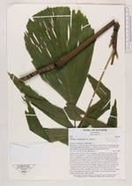
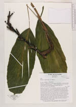
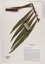
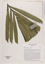
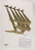
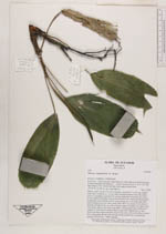
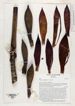
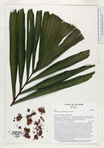
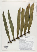
| Field notes | Solitary, stem 5 m tall, 2.5-3 cm in diameter, internodes 3-4 cm long, slightly wider above, leafscars ca. 0.5 cm wide, internodes shorter below the crown. Leaves 4, spreading, crownshaft 35 cm long, light green proximally becoming brown furfuraceous distally, the base thickened from the contained inflorescences. Leafsheaths closed; petiole round in cross-section, ca. 15 cm long, green with brown furfuraceous cover when young; blade 70x57 cm, pinnae in one plane on each side of blade but the two sides forming a shallow inverted V in cross-section of the blade, pinnae 16 per side, long elliptic with premorse sides, shallowly U-shaped in cross-section; terminal pinna cuneate, flat. Inflorescences in bud inserted just below the crownshaft, one per node, erect, with several short cylindric bracts surrounding the base and one large sharply pointed bract enclosing the unopened inflorescence. 1800 m altitude. |
 Other records of Wettinia aequatorialis