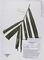
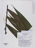
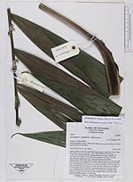
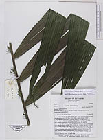
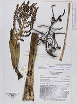
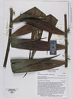
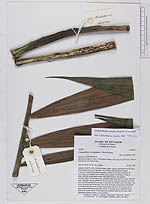
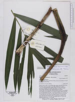
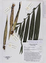
| Field notes | Solitary. Stem 6 m tall, 3.2 cm in diam at apex, green, internodes 8-20 cm long; adventitious roots ca 10 cm long, 1 cm in diam, reddish-brown. Leaves 3, erect, one dead leaf persistent, hanging; sheath 53 cm long, closed for 39 cm at base, crownshaft 4 cm in diam, green; petiole 12 cm long, 1.5 cm in diam, adaxially canaliculate at base, thereafter flattened, the margins rounded; rachis 120 cm long, green, adaxially flattened at base for 12 cm, thereafter acute, abaxially convex; pinnae 19-21 on each side, regularly disposed, somewhat erect, the basal pinnae 29 cm long, 3.2 cm wide, the middle one 52 cm long, 7 cm wide, the apical one 24 cm long, 4 cm wide. Immature infrutescences infrafoliar, 2-3 nodes below the crown, arched to pendulous; peduncle 18 cm long, green, terete; peduncular bracts persistent; rachis 13 cm long, green; rachillae 18, the longest one at base up to 14 cm long, each rachillae with up to 4 fruits; fruits (immature) globose, green, 1.5 cm in diam. |