| Collector | Balslev, H. |
| Number | 62524 |
| Collected with | Galeano, G. & Bernal, R. & Bergmann, B. |
| Country | Ecuador |
| Subpart | EL ORO |
| County | |
| Locality | West andean slopes near the coastal plain ca. 30 km N of Machala (Rio Bonito) along Guayaquil road and 6 km to the east along trail. Tropical humid forest on steep slopes. |
| Coordinates | 3° 11' S 79° 41' W |
| Minimum elevation (m) | 300 |
| Maximum elevation (m) | 300 |
| Start date | 1987/05/14 |
| End date | 1987/05/14 |
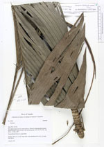
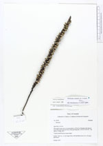
| Family | Arecaceae |
| Identification | Geonoma cuneata var. cuneata H.Wendl. ex Spruce |
| Determined by | F. Borchsenius |
| Identification qualifier | |
| Field notes | Solitary. Stem ca. 1 m tall, finger thick, with spreading crown of ca. 10 entire bifid leaves. |
|