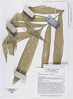
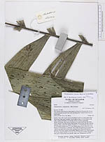
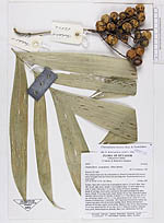
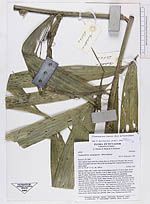
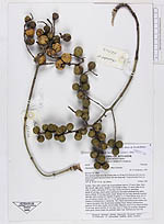
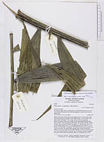
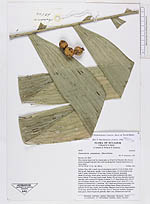
| Field notes | Solitary. Base with a small cone of adventitious roots to 1.3 cm in diam. Stem 280 cm tall, light green, smooth, 4 cm in diam at base, 3.5 cm in diam at top, with 27 nodes, internodes 5-15 cm long. Crown of 6 leaves, spreading; sheath 50 cm long, closed, green, enclosed in old wilted leafsheath from fallen leaves. Petiole 35 cm long, nearly round. Rachis 145 cm long, abaxially rounded, adaxially with a central rib. Number of pinnae 2 x 17. Basal pinnae erect, 45 x 6 cm, mid pinnae slightly erect 57 x 9 cm, apical pinnae in one plane 35 x 7 cm. Number of infrutescence 5, infrafoliar. The 2 basal most infrutescence mature, the 3 apical once green with old persistent splitting bracts. Mature infrutescence: peduncle 28 cm long, slightly dorsiventrally flattened, diam 0.8 cm. Basal rachillae 12 cm long, apical rachillae 10 cm long. Up to 17 fruits per rachillae. Immature fruits green, mature bright red, globular, diam 2 cm. Chromosome test # 28. |