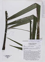
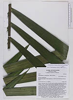
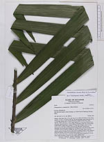
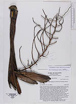
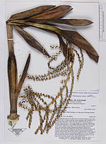
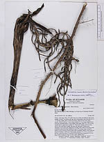
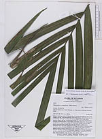
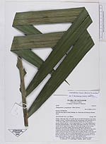
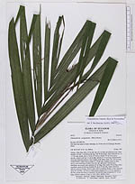
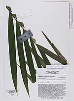
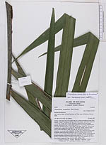
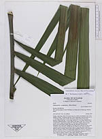
| Field notes | Solitary. Stem base with a 1/2 m tall cone of 1 m thick adventititous roots. Stem straight, 6 m tall, 7 cm thick at the top, with 36 internodes, each internode (6-) 12 -17 cm long, smoth, green. Crown of 6 leaves; sheath 104 cm long, green, smooth, closed to the top, 11 cm in diam; petiole 6.5 -8 cm long, rounded below, obviously channelled above, 2 cm in diam. at the blade; rachis 142 -154 cm long, rounded below, angled above; pinnae 25 -29 per side, straight, striate by many nerves, erect at the base of blade, flat at the top, dark green. Inflorescence infrafoliar, one at each node; peduncle 45 cm long, erect; rachis 30 cm long, cream at anthesis, green at fruiting; rachillae 40, up to 22 cm long, cream colored at anthesis, green at fruiting, flowers same color as rachillae, fleshly, evenly dispersed along the rachillae, with brown wilted petals; prophyll, 8.5 x 2.5 cm. inserted at the base, peduncular bracts 4, inserted 6 -30 cm from base of peduncle 25 -35 cm long, wilted at anthesis. |