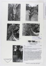
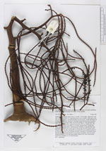
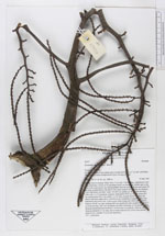
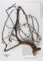
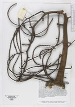
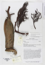
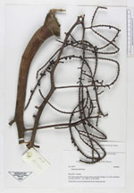
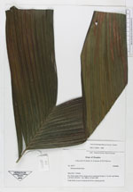
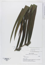
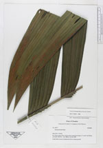
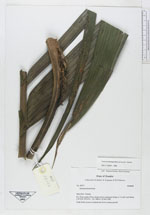
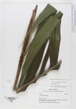
| Field notes | Solitary tree in swampy fields. Stem 3-4 m tall, 7-10 cm diam., light brown with short internodes. Crown of 12 spreading leaves, no crownshaft, sheath open to the base in the outer leaves, not distinguishable from the petiole; sheath and petiole 50 cm long, rounded below, flat above with sharp margins between the two surfaces, 2 cm wide below the blade; blade 145x105 cm, pinnae ca. 18 per side unevenly wide with 1 to 15 plications, sigmoid, basal pinna 59x9 cm, middle pinna 65x7 cm, apical pinna 50x13 cm; rachis 113 cm long, rounded below, the base flat above, otherwise ridged above. Interflorescence infrafoliar, 8 expanded and 2 ripe buds below the lowest leaf, yellow-green when young, red when mature 3 times branches 50x60 cm; base reaching half way around the stem; prophyll inserted 2,5 cm from the base, 20x7 cm, deciduous but often remaining on the petiole, brown, fissuced; peduncular bract inserted 5 cm from base of peduncle, 16x6 cm, brown fissuced; peduncle 21 cm long, dorsiventally flattened 3x1 cm in cross section, rachis 50 cm; rachillae 23 (1st order branches). N.V.: "caña brava" |