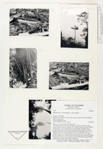
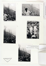
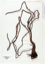
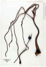
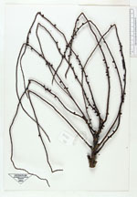
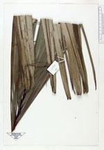
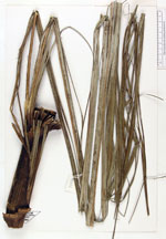
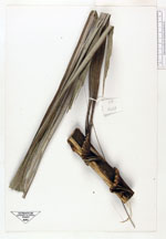
| Field notes | Stiltroots 1 m long, brown with blunt spines. Stem solitary, erect, 25 m tall, 45 cm diam. at middle, 32 cm diam. at apex, sheaths forming a distinct crownshaft 195 cm long, violet-grey in colour, slightly swollen at base. Leaves 4, petiole 80 cm, rounded below, channelled above, margins sharp, rachis 5 m long, 45 pinnae per side, middle pinnae split into 9 segments, these greyish above, lighter colour below, basal pinnae 152 x 1.5 cm; middle pinnae 195 x 4 cm, apical pinnae 43 x 2 cm. Inflorescences just past pistillate anthesis, erect, yellowish white, peduncle with 7 bract scars, first one 12 cm long, rachillae 141. An inflorescence bud ca. 80 cm long, violet. Growing with Pholidostachys, Bactris (tall, cespitose), Geonoma (HB 62030), Prestoea (62029), Chamaedorea, Palandra, Socratea and Catoblastus (?). |
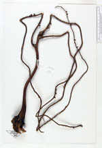
 Other records of Dictyocaryum lamarckianum
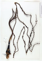