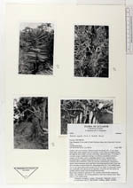
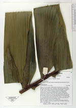
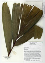
| Field notes | Solitary, left over in pasture. Stiltroots poorly developed, 30 x 1.5 cm, spiny, black, fairly closely spaced. Stem 10 cm diam. at base, black and fibrous around the edges in cross section, covered with lichens, smooth and grey, 9.2 m long, 9 cm diam. at apex. Leafsheath forming a very fibrous crownshaft, covered in creepers, 82 cm long. Leaves 6, spreading; petiole 12 cm, rounded below channelled above, rounded margin between the two surfaces, densely brown tomentose above and below; rachis 213 cm long, rounded below, ridged above densely brown tomentose above and below becoming smooth, pinnae 25 per side, all in one plane except for basal few, basal pinnae erect 20 x 7 cm, middle pinna 73 x 11 cm, apical pinna entire notched, 30 x 20 cm. Buds 11 at one node, central one in immature fruit, lateral ones all staminate, except for one bud which was pistillate and just lateral to the developed infructescence. Bracts (incl. prophyll) 5; peduncle 27 cm, rounded, dorsiventrally compressed, rachis 1 cm; rachillae 3, 50 cm long pendulous, fruits near maturity, green, hairy, oval 2 x 1 cm, anthers hairy. |
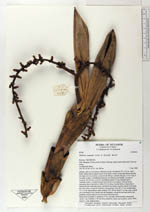
 Other records of Wettinia aequalis
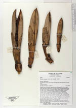