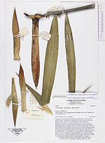
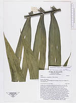
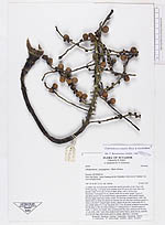
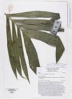
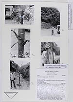
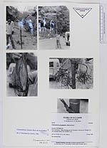
| Field notes | A solitary tree on steep slope towards the road in secondary scrub. Base with 30-40 cm long, 1 cm thick roots reaching up to 20 cm on the trunk above the ground. Stem 3.4 m tall, 5-6 cm in diam, green, with 5-18 cm long internodes. Crownshaft 55 cm, sheath closed for its entire length. Leaves 5, spreading, petiole 20 cm rounded below, grooved above, with rounded margin between upper and lower surface, rachis 110 cm long, rounded below, with 2 flat lateral sides on which the pinnae are inserted, the two flat sides reaching together to forme a inverted V-shaped upper surface, pinnae 26 per side, basal pinna 40 x 4 cm, middle pinna 45 x 6 cm, top pinna 24 x 5 cm, all pinnae arranged in one plane but the bases of the two sides forming a V. Infrutescences 3, inserted singly at nodes 7-5 below crownshaft, base encircling half the stem, peduncle 26 cm long, 1.5 cm wide, with 7 scars from prophyll and sterile bracts, rachis 28 cm, rachillae 33, 9-16 cm long; fruits round, green to orange, spherical, 1 cm diam. |