AAU Herbarium Database |
| New Search Modify Search |
| Collector | Balslev, H. |
| Number | 60589 |
| Collected with | Barfod, A. & Skov, F. |
| Country | Ecuador |
| Subpart | NAPO |
| County | |
| Locality | Añangu, south bank of Río Napo 95 km downstream from Coca. |
| Coordinates | 0° 32' S 76° 23' W |
| Minimum elevation (m) | 300 |
| Maximum elevation (m) | 300 |
| Start date | 1985/06/19 |
| End date | 1985/07/04 |
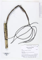
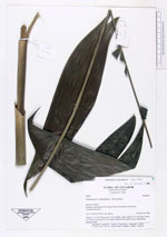
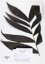
| Family | Arecaceae |
| Identification | Chamaedorea pinnatifrons (Jacq.)Oerst. |
| Determined by | |
| Identification qualifier | |
| Field notes | Solitary, 3 m tall. Stem green, 2 cm in diam., inter- nodes 15-25 cm long. Crown of 10 leaves, inserted 20-25 cm apart. Inflorescence below leaves, light green, turning orange. |
| |
| Display all 228 georeferenced records of Chamaedorea Chamaedorea pinnatifrons |
| New Search Modify Search |