| Collector | Balslev, H. |
| Number | 4446 |
| Collected with | and W.C. Steere |
| Country | Ecuador |
| Subpart | IMBABURA |
| County | |
| Locality | Road from Cotacachi to Apuela on western slopes of western cordillera. Road cuts in area of montane forest. |
| Coordinates | 0° 22' N 78° 27' W |
| Minimum elevation (m) | 0 |
| Maximum elevation (m) | 0 |
| Start date | 1983/10/22 |
| End date | 1983/10/22 |
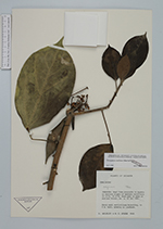
| Family | Araliaceae |
| Identification | Oreopanax confusus March. |
| Determined by | |
| Identification qualifier | |
| Field notes | Shrub with verticillate branching, to 4 m tall, growing on roadbank. |
|