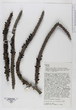
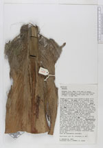
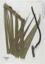
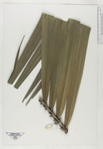
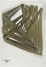
| Field notes | Stands of solitary trees spaced out about 10-15 meters interval. The base with an inserted cone, 40 cm high and 30 cm wide, of many 5 mm thick, brown to yellowish adventitious roots. Trunk 11 m tall, 11.5 cm diam at the base and 11 cm diam below the crown, smooth brown to grey and conspicuously visible from a distance, internodes 4 cm long near the base and 3 cm long below the crown; leafscars 1 cm wide e????ling the trunk completely. Crown of about 10 spreading leaves. Leaves with 50 cm long s????? completely encircling the trunk, gradually splitting up ?ea??? a fibrous net; petiole 20 cm long, 3.5 cm wide; blade 150 x 100 cm with 41 pinnae on each side. Inflorescences 3 inserted below the leaves at the 2nd, 3rd and 4th node, lowest one largest and measuring? 110 cm in lenght and 100 cm wide, peduncle 40 cm long, rachis 70 cm long; 3 x branched, whole inflorescenes mealy, greenish brown in color, young fruits green, endocarp purple, endosperm watery. Uses: No information available. |
 Other records of Geonoma weberbaueri