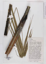
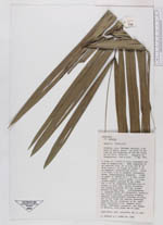
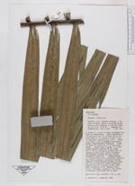
| Field notes | A clump of trees in highly disturbed remnants of swamp forest. Bare supported by an inverted cone, 60 cm high and 40 cm wide basally, of orange to brown, 1 cm diam, adventitious roots. Trunk 15 m high, 7 cm in diam throughout, brown, longitudinally fissured. Crown of ca 10 leaves on a 1 m long crownshaft. Leaves with a green, 1 m long close sheath; petiole 25 cm; blade 230 x 130 cm, pinnately divided with 45 pinnae on each side; rachis ascending and dropping towards the tip, pinnae pendant on each side. Inflorescences 3, inserted below the crownshaft; peduncle and rachis straight pointing slightly upwards; inflorescences branches sticking out to all sides but bending downwards towards the tip (contra?? to no 4281). Uses: No uses according to Armando Ortiz Silva, ??????, carpenter and farmer in Moravia |
 Other records of Euterpe catinga var. roraimae