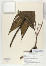
| Collector | Pedersen, H. B. |
| Number | 97619 |
| Collected with | Evans, D. |
| Country | Ecuador |
| Subpart | PASTAZA |
| County | |
| Locality | North of Rio Pastaza, near the Achuar village of Mashient southwest of Copataza. Along trail through primary forest. |
| Coordinates | 2° 8' S 77° 18' W |
| Minimum elevation (m) | 500 |
| Maximum elevation (m) | 500 |
| Start date | 1990/10/04 |
| End date | 1990/10/04 |
| Family | Arecaceae |
| Identification | Geonoma leptospadix Trail |
| Determined by | Borchsenius, F. (AAU), 1996. |
| Identification qualifier | |
| Field notes | Solitary understory palm. Stem 55 cm tall, diam 0.6 cm. With interfoliar orange-red infructescences. Fruits globular, green. |
|