AAU Herbarium Database |
| New Search Modify Search |
| Collector | Pedersen, H. B. |
| Number | 104343 |
| Collected with | |
| Country | Ecuador |
| Subpart | ZAMORA-CHINCHIPE |
| County | |
| Locality | Zamora-Gualaquiza rd. km 64, just South of El Pangui. Disturbed swamp forest between the road and Rio Zamora. |
| Coordinates | 3° 40' S 78° 33' W |
| Minimum elevation (m) | 850 |
| Maximum elevation (m) | 850 |
| Start date | 1995/06/06 |
| End date | 1995/06/06 |
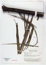
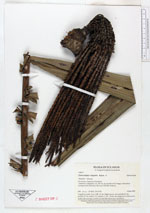
| Family | Arecaceae |
| Identification | Oenocarpus mapora H.Karst. |
| Determined by | |
| Identification qualifier | |
| Field notes | Cespitose palm, 5 m, DBK 10 cm. Eight leaves, crownshaft 40 cm, petiole 15 cm, rachis 212, pinnae 2 x 65. Fruits are prepared in lukewarm water, the exocarp is removed and the mesocarp consumed. |
| |
| Display all 59 georeferenced records of Oenocarpus Oenocarpus mapora |
| New Search Modify Search |