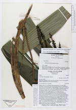
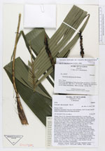
| Field notes | Solitary. Stem to 2 m, sometimes almost acaulescenct, 2 cm diam, often procumbent, with numerous roots at base forming a dense mat, which helps the palm to grow on the steep slopes, internodes apically 1-2 cm. Leaves 11, erect and arching; sheath of lower leaf 17 cm, fibrous at margins, old sheaths persistent but decaying on the upper 5-10 cm of the stem; petiole to 70 cm, 0.5 cm wide, rounded below, flat above, green; rachis 48 cm; pinnae 3 per side, 8-11 veined, basal pinnae 45 x 5 cm, midlle pinnae 42 x 6 cm, apical 38 x 8 cm. Infructescences 2, interfoliar, erect and arching, to two times branched, but normally once branched; prophyll 21 cm, 1.5 cm wide, persistent becoming fibrous; peduncular bract 17 cm, 0.8 cm wide, inserted 14 cm above the prophyll, persistent becoming fibrous; petiole 36 cm, 0.5 cm wide, flattened, green; rachis 7 cm; rachillae 6, the lower rarely bifurcate, lower rachillae 17 cm, 0.3 mm wide, upper rachillae 17 cm, 0.3 cm wide; fruits globose, shining green, 0.4 cm diam. |
 Other records of Geonoma interrupta var. euspatha