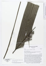
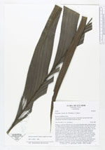
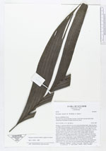
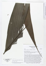
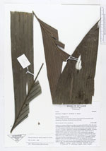
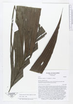
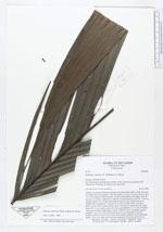
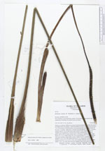
| Field notes | Solitary or cespitose (difficult to see due to the procumbent habit, where the stems are hidden below the surface). Stem procumbent for up to 2 m, then erect for up to 1 m, with remnants of old persistent, decaying leafsheaths on the upper 20 cm of the stem, 3 cm diam., light brown, leafscars very pronounced. Leaves 8 - 10, erect, arching; sheath 9 cm, in older leaves open almost to base, slightly fibrous at margins, brown; petiole 40 - 60 cm, 0.8 cm wide, rounded below, flat above, green; rachis to 80 cm; blade almost entire or with up to 4 pinnae per side, basal pinnae 54 x 9 cm, middle pinnae 56 x 8 cm, apical pinnae 41 x 11 cm, all pinnae with veins forming a sharp angle to rachis. Inflorescences 2, infrafoliar, spicate; prophyll 14 cm, 2 cm wide; pedencular bract 21 cm, inserted 0.5 cm above prophyll; peduncle 54 cm, 0.8 cm wide, dorsiventrally flattened, red towards apex; rachis 17 cm, 1 cm wide, deep wine red; immature fruits ovate, green, 0.6 cm. |