AAU Herbarium Database |
| New Search Modify Search |
| Collector | Borchsenius, F. |
| Number | 220 |
| Collected with | |
| Country | Ecuador |
| Subpart | ESMERALDAS |
| County | |
| Locality | Cerro de la Tunda, ca. 15 km E of Maldonado on the Río Santiago, half an hour upstreams from Borbon. Primary forest |
| Coordinates | 1° 1' N 78° 55' W |
| Minimum elevation (m) | 200 |
| Maximum elevation (m) | 200 |
| Start date | 1994/02/23 |
| End date | 1994/02/23 |
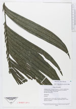
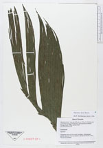
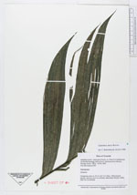
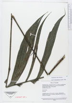
| Family | Arecaceae |
| Identification | Geonoma irena Borchs. |
| Determined by | F. Borchsenius |
| Identification qualifier | |
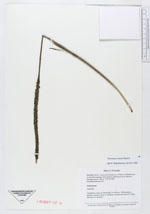
| Field notes | "Caespitose; stem ca. 20 cm tall, 3 cm diam. Inflorescence spicate; stamens erect in anthesis, stameinate flowers white, only few in anthesis" |

| |
 Other records of Geonoma irena Other records of Geonoma irenaThe map displays only records from the Aarhus Herbarium Database. The records may not represent the full distribution of Geonoma irena |
| New Search Modify Search |