AAU Herbarium Database |
| New Search Modify Search |
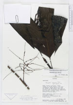
| Collector | Neill, D. |
| Number | 9092 |
| Collected with | |
| Country | Ecuador |
| Subpart | Napo |
| County | |
| Locality | Canton Archidona, south slopes of Volcán Sumaco, 5 km east of Huamaní, ridge above west side of valley of río Pucuno, new road to Galeras under construction. premontane rain forest, volcanic soils |
| Coordinates | 0° 44' S 77° 35' W |
| Minimum elevation (m) | 1100 |
| Maximum elevation (m) | 1100 |
| Start date | 1989/10/19 |
| End date | 1989/10/19 |
| Family | Arecaceae |
| Identification | Hyospathe elegans Mart. |
| Determined by | |
| Identification qualifier | |
| Field notes | |
| |
| Display all 101 georeferenced records of Hyospathe Hyospathe elegans |
| New Search Modify Search |