| Collector | Neill, D. |
| Number | 6770 |
| Collected with | |
| Country | Ecuador |
| Subpart | Pastaza |
| County | |
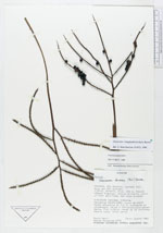
| Locality | Río Curaray, costado sur, boca del río Querano. Bosque primario, suelo ultisol arcilloso con buen drenaje. Bosque húmedo tropical |
| Coordinates | 1° 30' S 76° 32' W |
| Minimum elevation (m) | 230 |
| Maximum elevation (m) | 230 |
| Start date | 1985/08/29 |
| End date | 1985/08/31 |
| Family | Arecaceae |
| Identification | Geonoma longepedunculata Burret |
| Determined by | |
| Identification qualifier | |
| Field notes | Palma arbustiva de 1.5 m, abundante en sotobosque. Hojas e inflorescencia ascendente. Flor blanca, ramas de la inflorescencia roja, fruto verde. |
|
 Other records of Geonoma longepedunculata