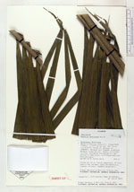
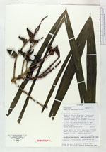
| Collector | Naranjo, D. |
| Number | 496 |
| Collected with | Freire,B. |
| Country | Ecuador |
| Subpart | Orellana |
| County | |
| Locality | Reserva Étnica Huaorani. Comunidad Miwaguno a 140 km al sur del Coca, via al Pindo, Bloque 14 (ENCAN). Rio Shiripuno. Bosque muy hUmedo tropical. Bosque intervenido. Suelo arcilloso amarillento. Proyecto Etnobotánico del Herbario Nacional, co-financiado por PetroEcuador |
| Coordinates | 0° 39' 45'' S 76° 40' 0'' W |
| Minimum elevation (m) | 300 |
| Maximum elevation (m) | 300 |
| Start date | 2004/06/24 |
| End date | 2004/06/24 |
| Family | Arecaceae |
| Identification | Bactris gasipaes Kunth |
| Determined by | |
| Identification qualifier | |
| Field notes | Arbol de 15 m; 29 cm DAP. Frutos verdes, negros. Uso: Construcción, techado (hoja). Alimenticio, humano |
|
 Other records of Bactris gasipaes