AAU Herbarium Database |
| New Search Modify Search |
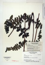
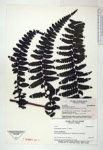
| Collector | Ollgaard, B. |
| Number | 99758 |
| Collected with | |
| Country | Ecuador |
| Subpart | PICHINCHA |
| County | |
| Locality | Road Calacalí-Nanegalito, km 23. Forested ravine with stream. |
| Coordinates | 0° 2' N 78° 37' W |
| Minimum elevation (m) | 1950 |
| Maximum elevation (m) | 1950 |
| Start date | 1992/02/05 |
| End date | 1992/02/05 |
| Family | Dennstaedtiaceae |
| Identification | Dennstaedtia sprucei T. Moore |
| Determined by | |
| Identification qualifier | |
| Field notes | On wet rock face, leaves hanging to 2.5 m long. |
| |
 Other records of Dennstaedtia sprucei Other records of Dennstaedtia spruceiThe map displays only records from the Aarhus Herbarium Database. The records may not represent the full distribution of Dennstaedtia sprucei |
| New Search Modify Search |