| Collector | Ollgaard, B. |
| Number | 58353 |
| Collected with | Laegaard, S. & Thomsen, K. & Korning, J. & Illum, T. |
| Country | Ecuador |
| Subpart | LOJA |
| County | |
| Locality | Parque Nacional Podocarpus. Road Yangana - Cerro Toledo. Tall montane forest, dominated by Chusquea thicket on the forest floor. |
| Coordinates | 4° 23' S 79° 8' W |
| Minimum elevation (m) | 2600 |
| Maximum elevation (m) | 2600 |
| Start date | 1985/02/27 |
| End date | 1985/02/27 |
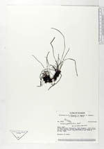
| Family | Vittariaceae |
| Identification | Vittaria graminifolia Kaulf. |
| Determined by | Moran, R.C. (AAU), 1993. |
| Identification qualifier | |
| Field notes | Epiphyte in shade. |
|
 Other records of Vittaria graminifolia