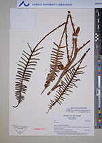
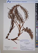
| Collector | Ollgaard, B. |
| Number | 2532 |
| Collected with | H. Navarrete |
| Country | Ecuador |
| Subpart | MORONA-SANTIAGO |
| County | |
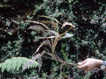
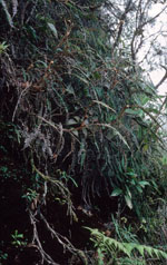
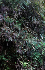
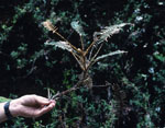
| Locality | Road from Plan de Milagro-Gualaceo road km 8,9 to antennas. Open banks and adjacent mossy forest. |
| Coordinates | 3° 0' S 78° 31' W |
| Minimum elevation (m) | 2300 |
| Maximum elevation (m) | 2350 |
| Start date | 1997/03/20 |
| End date | 1997/03/20 |
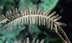
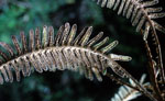
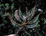
| Family | Blechnaceae |
| Identification | Parablechnum stuebelii (Hieron.) Gasper & Salino |
| Determined by | Weston L. Testo (F) |
| Identification qualifier | |
| Field notes | On kaolinite bank, stem elongate, arching-ascending. |
|
 Other records of Parablechnum stuebelii