AAU Herbarium Database |
| New Search Modify Search |
| Collector | Bergmann, B. |
| Number | 97820 |
| Collected with | Pedersen, H. B. |
| Country | Ecuador |
| Subpart | NAPO |
| County | |
| Locality | Rio Tibutini, 2 1/2 h upstream from Via Auca, left side of the river. Primary forest. |
| Coordinates | 0° 44' S 76° 56' W |
| Minimum elevation (m) | 370 |
| Maximum elevation (m) | 370 |
| Start date | 1991/07/21 |
| End date | 1991/07/23 |
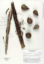
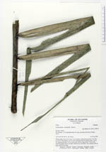
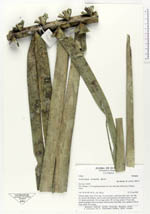
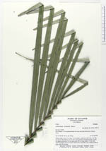
| Family | Arecaceae |
| Identification | Astrocaryum urostachys Burret |
| Determined by | Balslev, H. (AAU), 1994. |
| Identification qualifier | |
| Field notes | Solitary palm. Stem 10 m long, 13 cm in diam, rough from leaf scars, very like the stem of Phytelephas, base of stem with numerous adventitious roots. Leaves 10; sheath and petiole 135 cm long; rachis 180 cm long; pinnae 113 per side, inserted regularly and in one plane. Inflorescence interfoliar, erect; peduncle 100 cm long; rachis 50 cm long. |
| |
 Other records of Astrocaryum urostachys Other records of Astrocaryum urostachysThe map displays only records from the Aarhus Herbarium Database. The records may not represent the full distribution of Astrocaryum urostachys |
| New Search Modify Search |