| Collector | Bergmann, B. |
| Number | 67232 |
| Collected with | Laegaard, S. & Renner, S. S. |
| Country | Ecuador |
| Subpart | NAPO |
| County | |
| Locality | 3 km E of Jatun Sacha (D.Neal´s station). 11 km ESE of Puerto Misahaulli. Forest with few removed trees belonging to "Las Cañas de Alliñaui". |
| Coordinates | 0° 58' S 77° 30' W |
| Minimum elevation (m) | 350 |
| Maximum elevation (m) | 350 |
| Start date | 1988/06/02 |
| End date | 1988/06/02 |
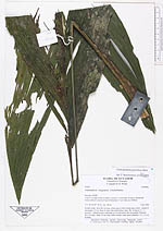
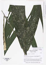
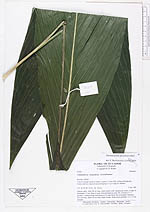
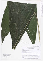
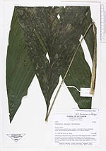
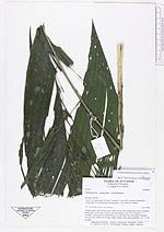
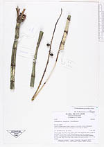
| Family | Arecaceae |
| Identification | Chamaedorea pauciflora Mart. |
| Determined by | Borchsenius, F. (AAU), 1996. |
| Identification qualifier | |
| Field notes | Solitary palm. Stem 48 cm long, yellow-green with conspicuous nodes. Length of internodes 3.5 cm. Base of stem with adventitious roots. No. of leaves 5 + 1 juvenile. 1 infructescence infrafoliar at 1st node below the crownshaft. Peduncle 26.5 cm long. Spike 24 cm long. Spike orange, fruits green globular 1.2 x 1.2 cm in diam. |
|