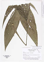
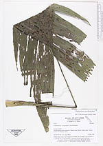
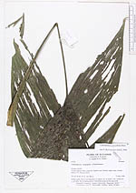
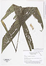
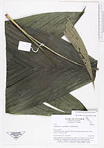
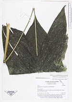
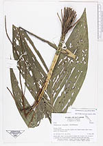
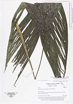
| Collector | Bergmann, B. |
| Number | 67223 |
| Collected with | Laegaard, S. & Renner, S. S. |
| Country | Ecuador |
| Subpart | NAPO |
| County | |
| Locality | Yasuni National Park, along Río Tiputini, near Tiputini supply camp. Seismic point E 272. Primary forest. |
| Coordinates | 0° 53' S 76° 45' W |
| Minimum elevation (m) | 300 |
| Maximum elevation (m) | 300 |
| Start date | 1988/05/31 |
| End date | 1988/05/31 |
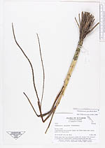
| Family | Arecaceae |
| Identification | Chamaedorea pauciflora Mart. |
| Determined by | Borchsenius, F. (AAU), 1996. |
| Identification qualifier | |
| Field notes | Solitary palm. Stem 5 cm long green to whitish. No. of nodes 2. No. of leaves 8 + 1 juvenile. No. of inflorescences 3 interfoliar inserted at the same node. |
|