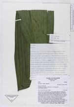
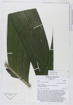
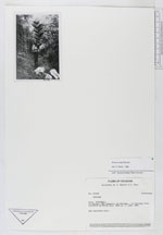
| Field notes | Solitary tree, 8.5 m tall, DBH 8 cm. Stem smooth, light brown with greyish leaf-scars, stem slightly twining. Distance between leaf-scars 3-5 cm. leaf-scars irregular. Crown shaft more or less pronounced, smooth and yellow, to 10 cm. A sword is present. leaves twelve, 2.5 X 1 m, oblong, bifid at apex. Base sheathing, margins fibrous, brown felted green. Pinnae 20, reduplicate, dark green dorsally, green ventrally, major veins white. A hastula up to 20 cm on some leaves. Inflorescence infrafoliar. Prophyll and 1 bract enclosing the immature inflorescence. Bract spatulate, smooth, brownish felted green outside, glossy yellowish green inside, 30 X 8 cm. Peduncle yellowish felted, 15 cm. Rachis red at maturity. Only spicate 1. rachillae. Eight individuals growing close together. |