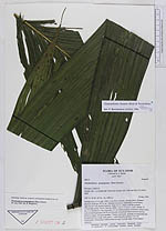
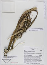
| Field notes | Solitary tree, 9.3 m tall. DBH: 5 cm. Stem smooth, shining green. Distance between leafscars: 20-22 cm. Stiltroots numerous, branching several times, light brown with prickly lenticels. Stem not in contact with the ground. Crownshaft green, 50 cm. Palmito edible. Leaves 4, (2.2 x 1.5)m. Petiole 15 cm. C.s: Rachis C.s. No. of pinnae: 2 x 20. Inflorescences infrafoliar, borne in the axils of defoliated notes 40-50 cm from the crownshaft. Inflorescences seen in different stages, all types pendant. 7 bracts, persistent, splitting up longitudinally. Peduncle 60 cm. Long, fresh green. 1. order branches spicate. Use: No information. Collections: Inflorescence in early fruiting stage, wood sample, stiltroots. |