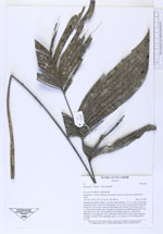
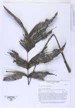
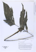
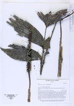
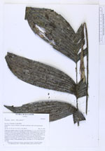
| Field notes | Understorey palmlet, about 1.5 m high. Stem diameter 1-1.7 cm, stem curved with lowest part more or less level with ground. Crown with 9 pinnate leaves. First leaf situated ca. 50 cm above ground. Leaf sheath open. Petiole 42 cm long, rachis 12 cm. Each leaf with three pairs of pinnae of unequal sizes. Median pinnae 20-23 cm long and 5-6 cm wide. Two interfoliar infructescences present. Unbranched. Peduncle 14 cm long and 7 mm in diameter. Rachis 20 cm. Petiole and rachis red to purple in colour. Fruits unstalked, green, oval shape, ca. 0.7 cm long and 0.5 cm wide. |